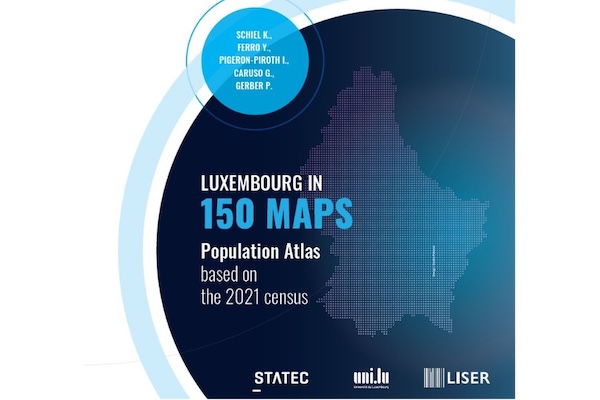
On Monday 6 July 2026, Luxembourg's national statistics institute STATEC, Luxembourg Institute of Socio-Economic Research (LISER) and the University of Luxembourg (Uni.lu) jointly announced the publication of “Luxembourg in 150 Maps: Population Atlas Based on the 2021 Census”, a new reference work offering a detailed visual overview of the country's demographic changes.
According to the organisations, the atlas presents 150 maps based on data from the 2021 population census, providing an accessible analysis of the key trends shaping Luxembourgish society. These include population growth and distribution, urbanisation, housing, family structures, ageing, migration, languages, employment, mobility and educational attainment.
The publication aims to highlight the contemporary challenges facing Luxembourg, particularly in the areas of spatial planning, public policy and social cohesion, while offering insights into how the country's population lives, evolves and changes over time.
The atlas combines different levels of observation, from municipalities to a 1 km² grid, with a range of cartographic representations to illustrate demographic changes across the Grand Duchy.
Designed as both a reference work and a decision-making tool, the atlas is intended for policymakers, researchers, educators and anyone interested in better understanding Luxembourg's evolving population.