 Credit: Stecen Miller, Chronicle.lu
On Tuesday 29 April 2025, Chronicle.lu was invited by the City of Luxembourg (VdL) to the Park Ban de Gasperich to discuss how it is managed and maintained by the city.
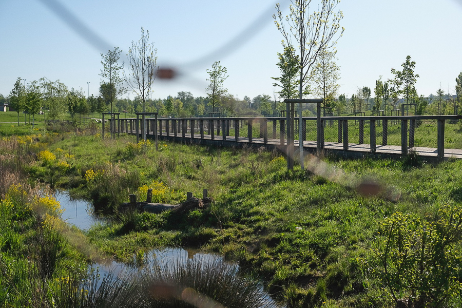
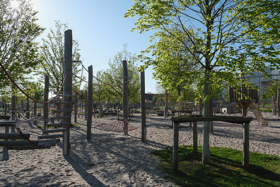
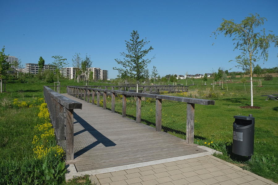
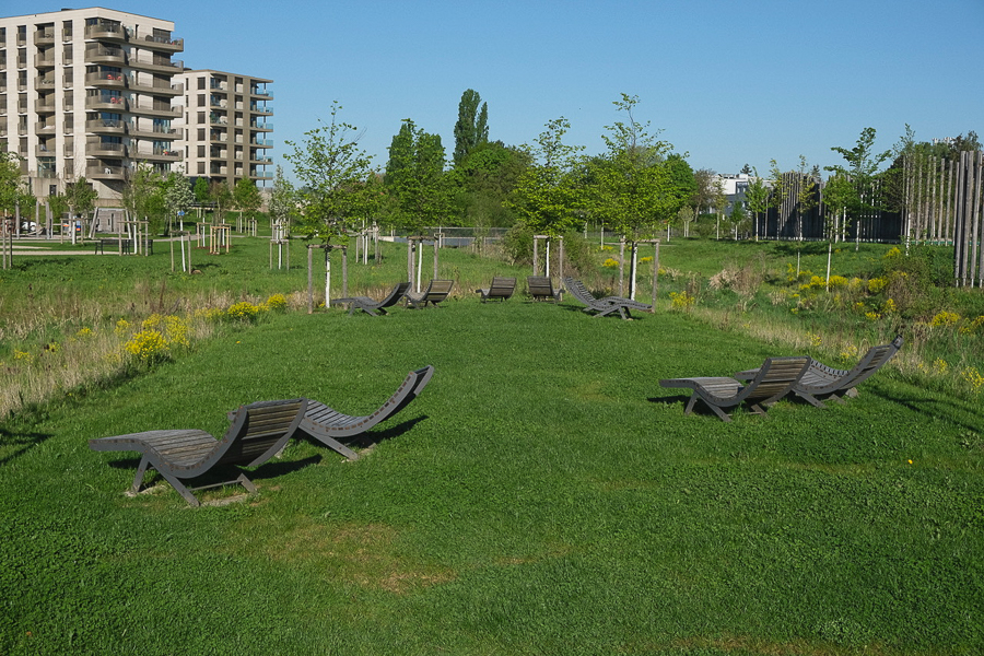
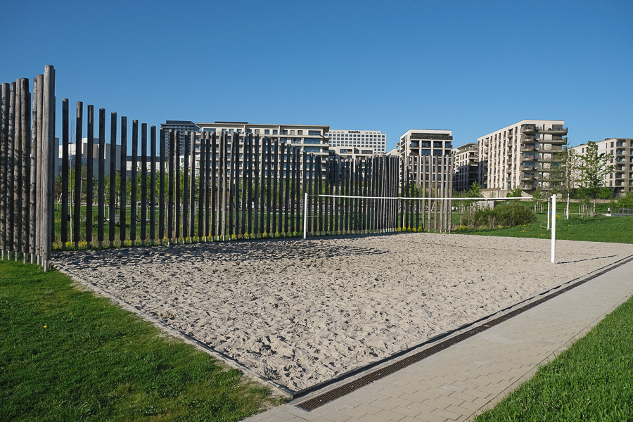
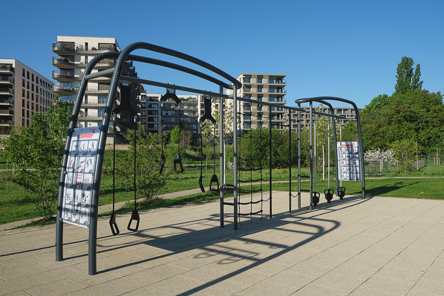
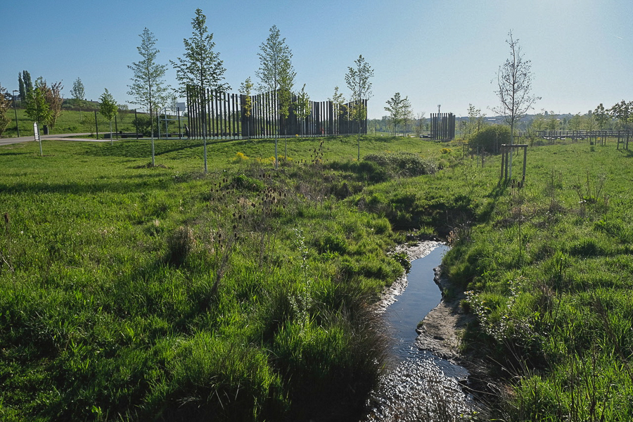
The park, officially opened to the public in June 2023, is described by the VdL as a “green lung for the capital”and is designed to combine areas featuring playgrounds, sports fields and meeting places with landscapes dedicated to biodiversity. The park covers over 16.6 hectares and is traversed by a tributary of the Drosbach river. The park also features a 7,000m2 man-made lake.
Chronicle.lu’s guide for the tour, Jean-Claude Weber, from the Luxembourg City Parks Service, offered a series of insights into the creation and maintenance of the largest green area in Luxembourg City. When discussing how the park is maintained, Mr Weber explained that each area within the park must be prepared for each season in different ways and that they are managed independently depending on their position within the park and the plants and flowers contained within each area. Mr Weber revealed that the park’s management “have a map and a plan” of all areas within the park, in which “every part is documented in a register, where we record all of the information about the green areas. All the trees are registered and also the composition of the different green areas, such as those with perennials [plants that live and flower for 2+ years] and those with grass.”
When discussing the maintenance of each area, Jean-Claude Weber pointed out that the areas on either side of the stream from the Drosbach river (approximately 5m to each side) are not maintained the Parks Service but by Luxembourg's Water Management Authority (Administration de la gestion de l'eau - AGE). He explained this can cause complications but it does allow the park’s maintenance staff to concentrate on the other areas of the park, only needing to remove litter from the areas near the stream. However, some small exceptions are made for the cutting of the grass and maintenance of seating areas located within those boundaries.
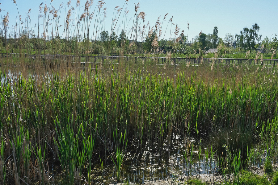
Mr Weber explained that when the park was being designed and tests were made on the soil and groundwater levels, it was noted that not only were groundwater levels high but that there were also large deposits of clay which affect the water distribution below the ground and that the topography of the park also influences the run-off of rain, diverting it downhill to specific, lower areas of the park. He detailed how this influences both the positioning of certain plants and trees and how the ground must be prepared for planting, through the addition of stones and volcanic materials to allow the roots to take hold. The water levels also influence the choice of soil which needs to be added to each planting area and how the ground reacts differently during times of heavy rain or high temperatures. He remarked: “If you have rain or wetter weather, you will have a nice meadow. But otherwise, when it's getting dry, the lawn areas change. At the moment it looks healthy because it's green, but when have 30c or 40c, then totally dry and usually we don't do water on these grounds.”
Despite an abundance of groundwater, Mr Weber revealed how water is gathered and stored from surrounding apartment blocks and routed to a concrete storage cavern under the park. This is then used to feed the lake during times of low precipitation and also acts as a reservoir for other parks in the city, with an electric pump near the lake providing access to the water for maintenance vehicles. When there is an excess of water, it is fed back into the river.
On the subject of climate change, Jean-Claude Weber noted that seasons now “start earlier and last longer”. He described how this affects the maintenance of the park, because “we are going long into the autumn with all our flowers, they are lasting longer and we can't cut them before the moment they produce their seeds”. He also emphasised how this also impacts the producers of the plants and flowers for the city as they have had to “change the system of how to grow plants because climate change changes everything for everybody”.
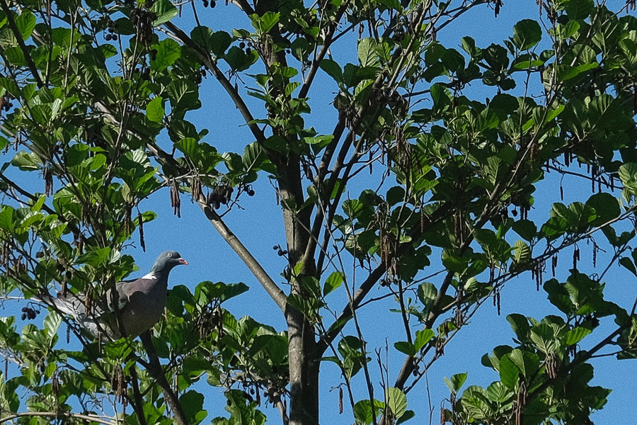
When discussing the various animals and insects present in the park, Mr Weber stated that the park has rabbits, foxes, badgers, mice, amphibians, ducks and other birds but that this was not always the case. Before the park was developed the area was, aside from some wilder parts, predominantly farmland. In historic times, it had been the site of a Napoleonic camp.
When asked about the make-up of the various trees around the park, Mr Weber detailed that these consist of approximately 80% native trees and 20% non-native trees. A mix he stated is because “sometimes it is so difficult to raise a native tree in this area, so we decided to use non-native trees or plants. In general, we are using them on special spots where they can grow successfully”. Mr Weber revealed that in the wetter areas of the park they planted metasequoia and taxodium. Other types of trees in the park include various conifers, maple, chestnut, paulownia and, on the perimeters of the park, sequoia sempervirens, which will eventually grow to create a wall of trees surrounding the area. This is intended to help reduce noise and pollution from the surrounding urban areas. Mr Weber reflected that, when planning which trees to plant, “you have to know what will happen with this park in twenty or 30 years or even in 100 years, if it lasts so long. If you come back here in five years, it will look completely different. At the moment, this is just the beginning.”


